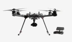


What mapping software does Astro support?
Astro and Astro Max are software agnostic, which means it will likely function with your favorite mission planning software and stitching software.
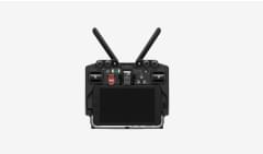
- For mission planning:
- We recommend using the pre-installed AMC software, or Esri Sitescan, both of which we thoroughly test and validate.
- Astro is PX4 based and also works with, UGCS, and others. However, other than the recommended options: we do not test or validate behavior. We strongly recommend you do not use anything other than AMC to change Astro flight parameters.
- For post processing, the captured photos are compatible with Ersi Sitescan, Pix4D, and others
Still need help? Get in touch with our support team.
Contact Us