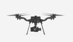
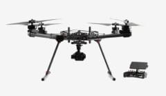
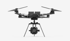



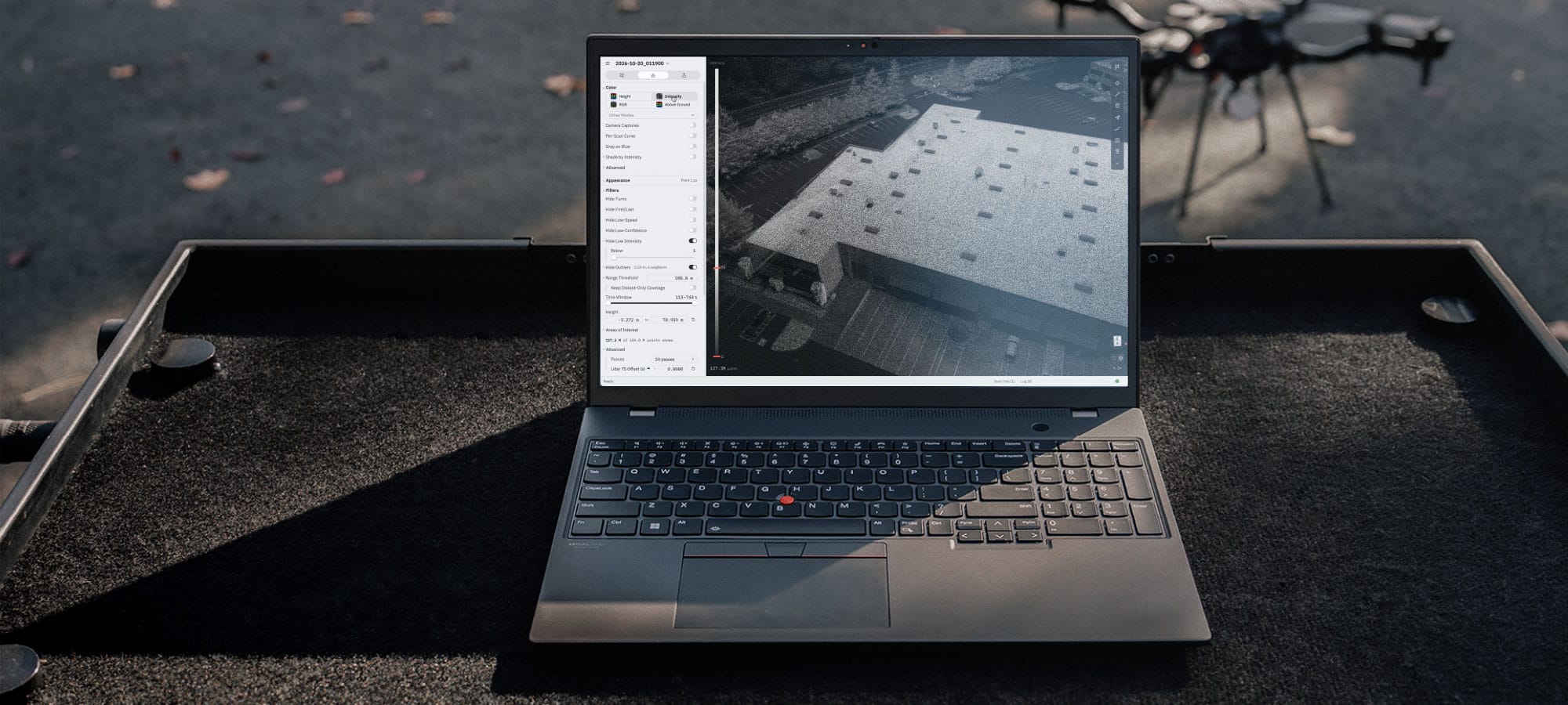
Process, Colorize and SLAM in field on a macOS, Windows or Linux laptop.

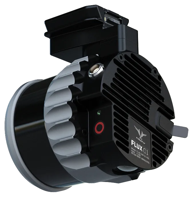
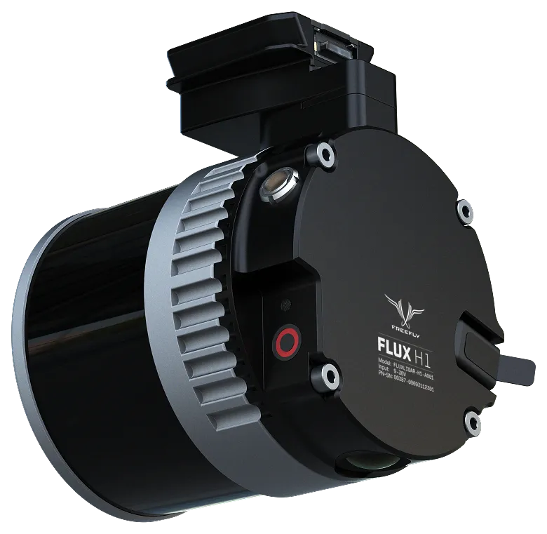
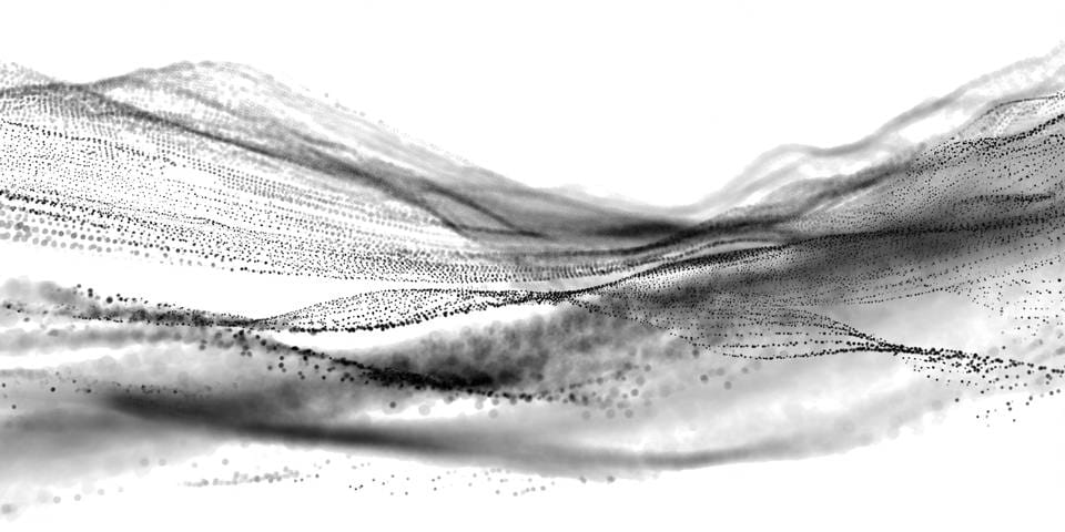


Introducing the world’s most efficient LiDAR solution - Go from scan to decision in minutes with Freefly Flux LiDAR systems
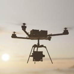
Freefly Flux is the lightest and most simple lidar workflow ever. Outline your scan area, fly the mission, grab the USB-C drive from the scanner and visualize your data in minutes using Apple iPad.
MAC / WINDOWS / LINUX
Bringing the same seamless workflow to the workstation for multi-flight projects and maximum performance. Merge missions, refine, and export straight into your survey toolchain.
IPAD / IPHONE / PILOT PRO
Flux Mobile turns an iPad, iPhone, or Pilot Pro into the field processing station. Pull the USB-C drive, import, add the base station RINEX, and a PPK-corrected point cloud is on screen in minutes before you pack up.
Process, Colorize and SLAM in field on a macOS, Windows or Linux laptop.
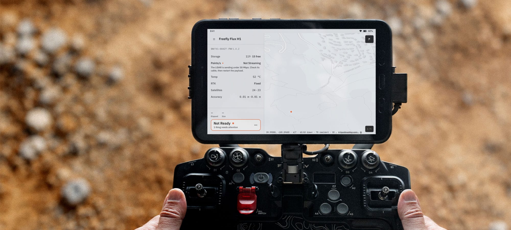
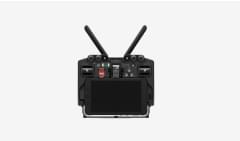
Pilot Pro shows live telemetry in flight and can process your scan right on the controller.
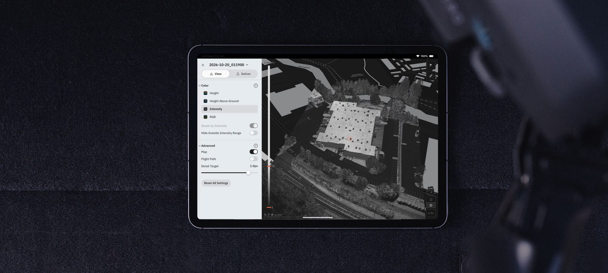
Process data 4x realtime on your iPad, review and make sure you completed your mission before leaving site.
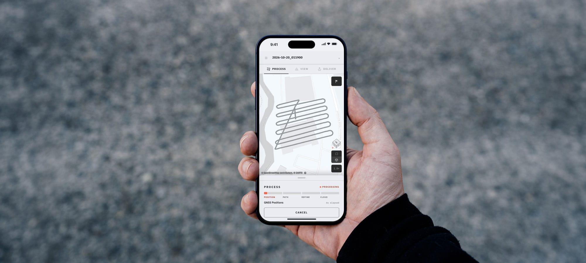
Screentime high? Make it higher! Process and Review right on your phone.
Available in Flux Desktop
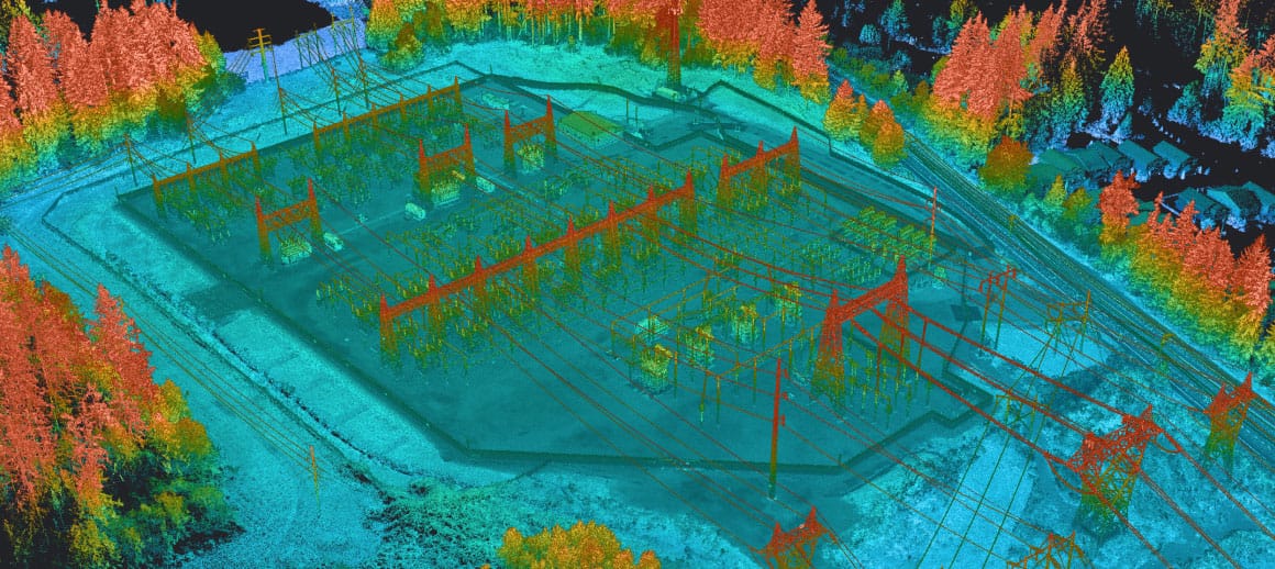
The integrated 20MP camera colorizes the point cloud automatically — no separate photogrammetry pass, no manual alignment. Every point carries true color from the same flight.
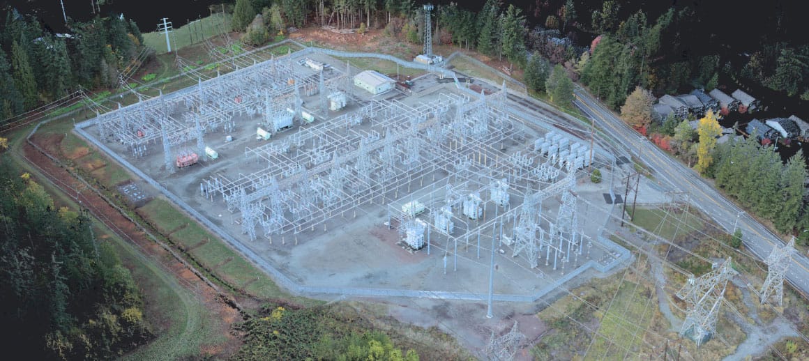
Available in Flux Desktop
SLAM keeps Flux sharp in difficult environments by tracking the sensor's own motion against the scene.
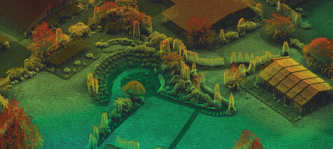
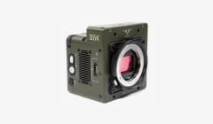
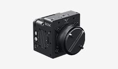
Which system is right for me? Choose from Hesai and Ouster scanners to fit your use case.
$ 32,995.00
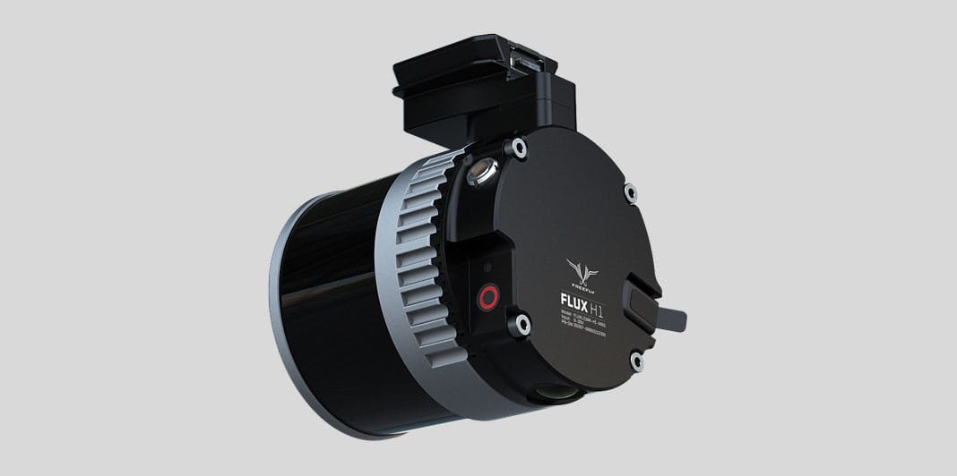
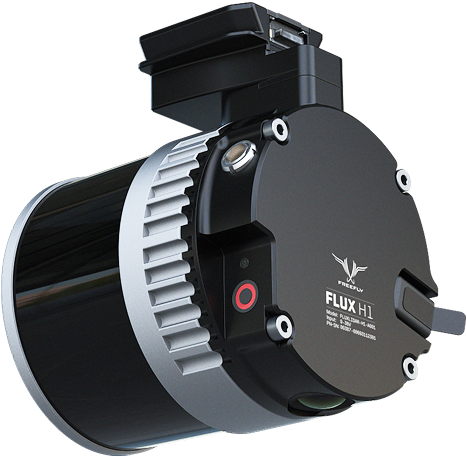
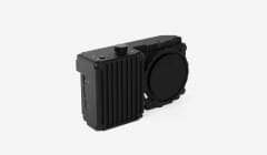
Hesai XT-32MX offers incredible performance in a 715g package. Professional level results in a package that can travel worldwide with ease.
| 32 laser channels |
| 3 cm (1.2 in) accuracy |
| Triple Returns |
| 300m range |
| 360° x 40° FOV |
| 715g |
| Aerial and Mobile Mapping |
$ 32,995.00
 NDAA
COMPLIANT
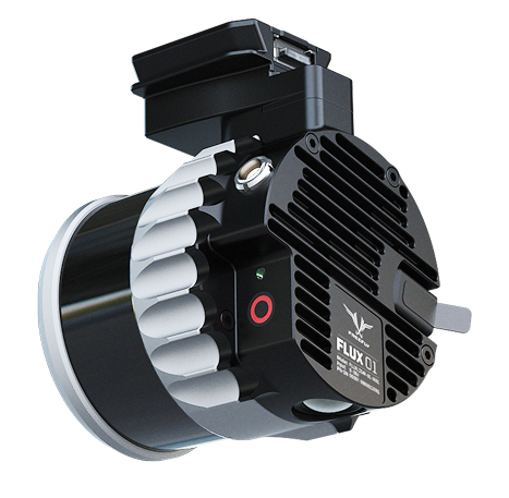
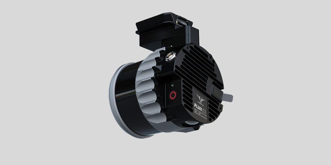
NDAA compliant, the Ouster OS1 is ready to scan your critical infrastructure.
| 128 laser channels |
| 3 cm (1.2 in) accuracy |
| Dual Returns |
| 200m range |
| 360° x 42.4° FOV |
| 690g |
| Aerial and Mobile Mapping |
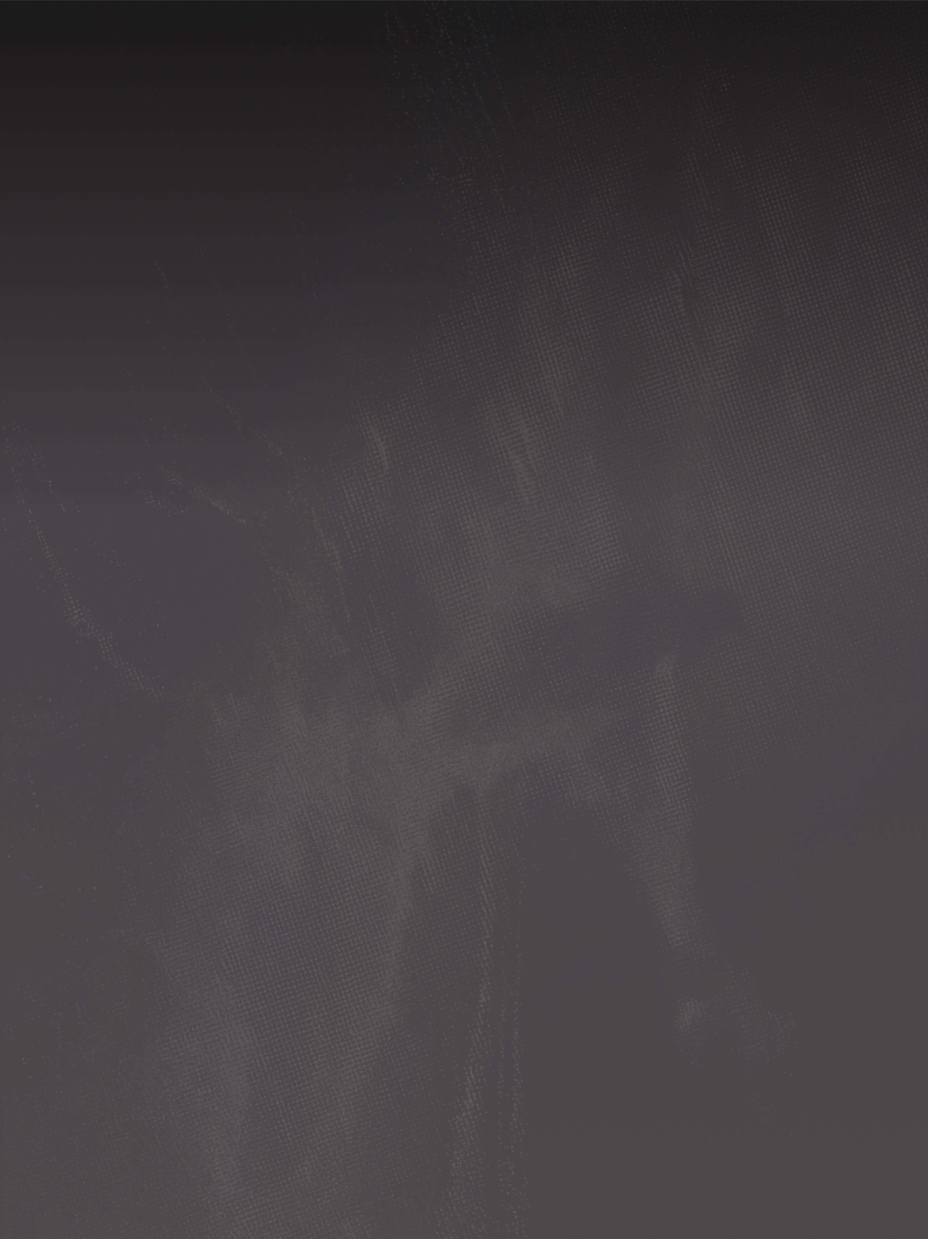
Incredibly simple, with no calibration, effortless data capture and on-site processing.
Flux starts recording on takeoff and you’re ready to collect up to 1.9 million points per second.
The system automatically syncs IMU, GNSS, and LiDAR data, storing it securely on the USB-C flash drive.
Forget about time-consuming calibration passes or tricky flight patterns. Take off vertically, fly directly to your first waypoint, and start surveying immediately.
Our advanced processing ensures that strips align perfectly every time.
After landing, Flux automatically finalizes the recording. Your data is instantly saved to the USB-C flash drive and fully prepared for processing.
Don’t wait to get back to the office. While still on-site, use our app to import the data from the USB-C flash drive into a new project.
Add the ground station’s RINEX file for the GNSS post-processing.
In just a few minutes, a highly accurate, dense point cloud is produced and ready for analysis.
Bring the project onto the workstation for multi-flight merges, SLAM processing, colorization and fly-through review, then export straight into your survey toolchain.
Use Pilot Pro and all mission parameters populate automatically, or your preferred mission planning app to map out your survey.
Set the altitude between 10 and 150 meters. Adjust the lateral overlap to match the flight track separation for optimal coverage.
Choose a speed between 1 and 15 m/s to balance point density and mission duration.
Flux starts recording on takeoff and you’re ready to collect up to 1.9 million points per second.
The system automatically syncs IMU, GNSS, and LiDAR data, storing it securely on the USB-C flash drive.
Forget about time-consuming calibration passes or tricky flight patterns. Take off vertically, fly directly to your first waypoint, and start surveying immediately.
Our advanced processing ensures that strips align perfectly every time.
After landing, Flux automatically finalizes the recording. Your data is instantly saved to the USB-C flash drive and fully prepared for processing.
Don’t wait to get back to the office. While still on-site, use our app to import the data from the USB-C flash drive into a new project.
Add the ground station’s RINEX file for the GNSS post-processing.
In just a few minutes, a highly accurate, dense point cloud is produced and ready for analysis.
Bring the project onto the workstation for multi-flight merges, SLAM processing, colorization and fly-through review, then export straight into your survey toolchain.
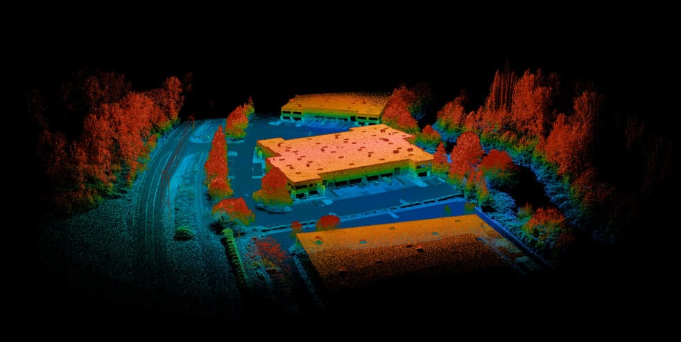
Real world examples
Industrial Building
POINT ONE CORRECTIONS NETWORK
Flux is integrated with Point One’s worldwide RTK Corrections Network. Corrections stream to Astro over the network, so your point cloud is georeferenced to centimeter level without setting up a base station or hunting for a RINEX file.
POINT ONE CORRECTIONS NETWORK
Flux can use RTK or PPK corrections for centimeter accuracy. Two ways to get them - pick the one that matches how you already work.

For pros
Already running a survey-grade base? Keep it. Flux post-processes against any RINEX log, or takes live NTRIP corrections from your own base or network subscription.

For most
No hardware, no setup. Astro pulls RTK corrections from Point One’s worldwide network over cellular - land, fly, process. Centimeter accuracy wherever Point One has coverage.

Battery Coverage
Top-down view of a single Astro + Flux mission at the same altitude, speed, and line spacing on an SL8 pack versus SLMax.
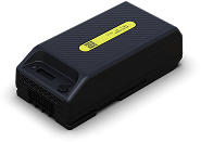
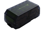
60m (200ft) altitude, 10m/s (22mph) flight with Flux H1
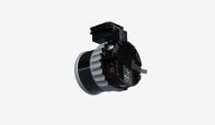
Designed, assembled, and tested in house, enabling seamless integration into Astro and Alta X allowing us to optimize performance.
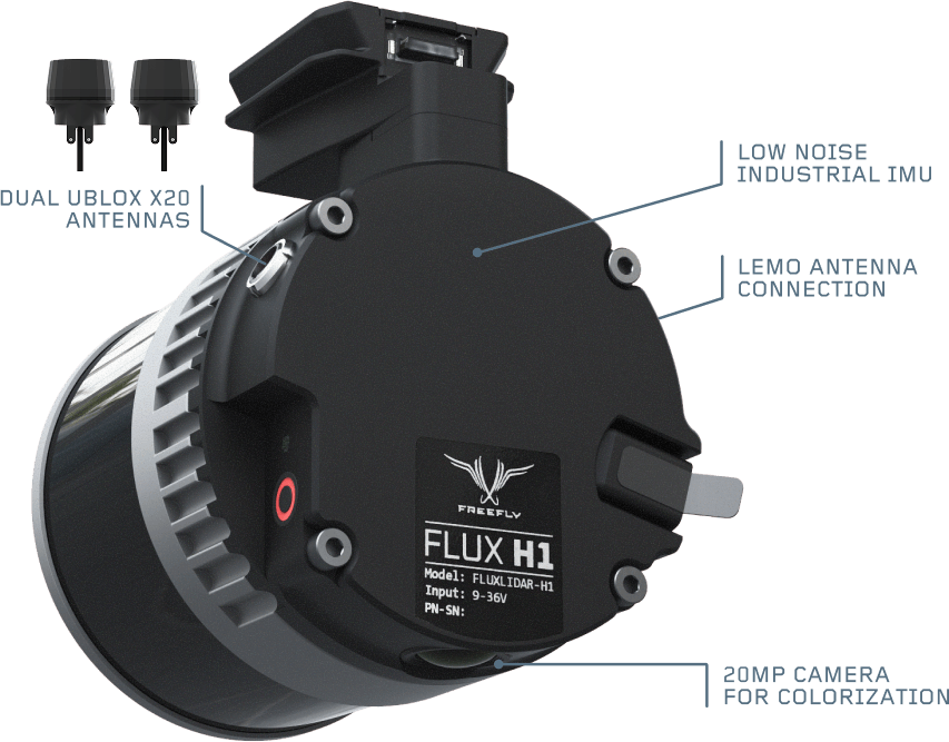
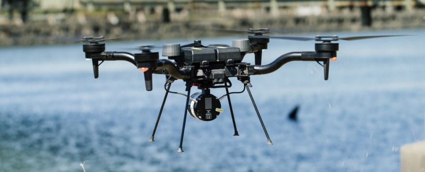
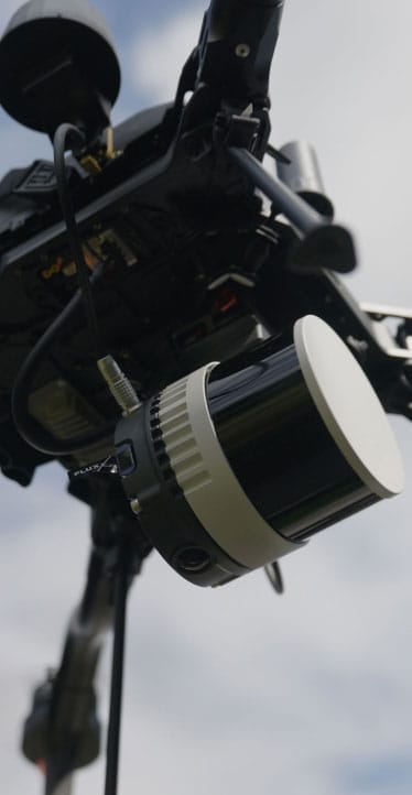
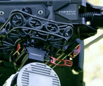
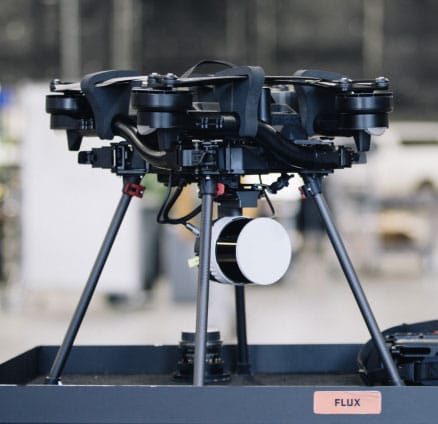
We use the latest low noise IMU’s, dual ublox X20 GNSS integrated into each antenna, and a 20mp camera for colorization.

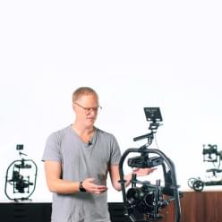
Using the Freefly Systems Astro equipped with Flux LiDAR, I was able to showcase just how quickly actionable geospatial deliverables can make it from the field into the office.
Short videos that take you from unboxing to your first processed scan.
Freefly Flux Overview


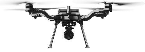
Start with a complete Freefly Astro + Flux LiDAR package. Get the equipment, software, and support to create your first professional scan.

Astro + Flux
Precision In Motion. Insights In Minutes.