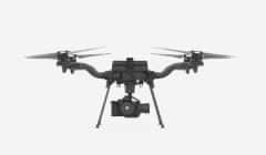
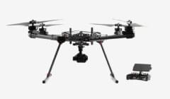
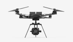
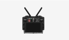


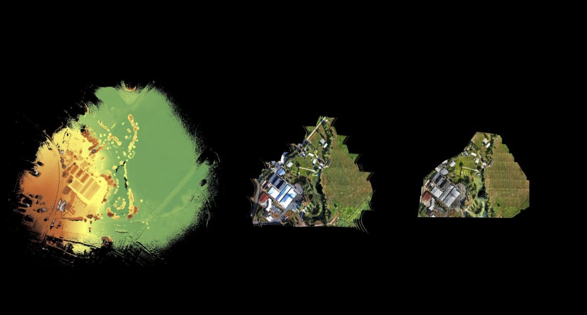
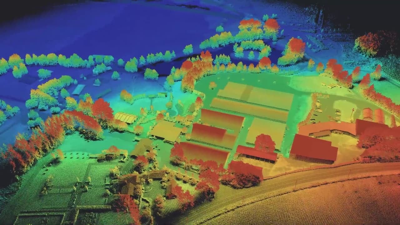
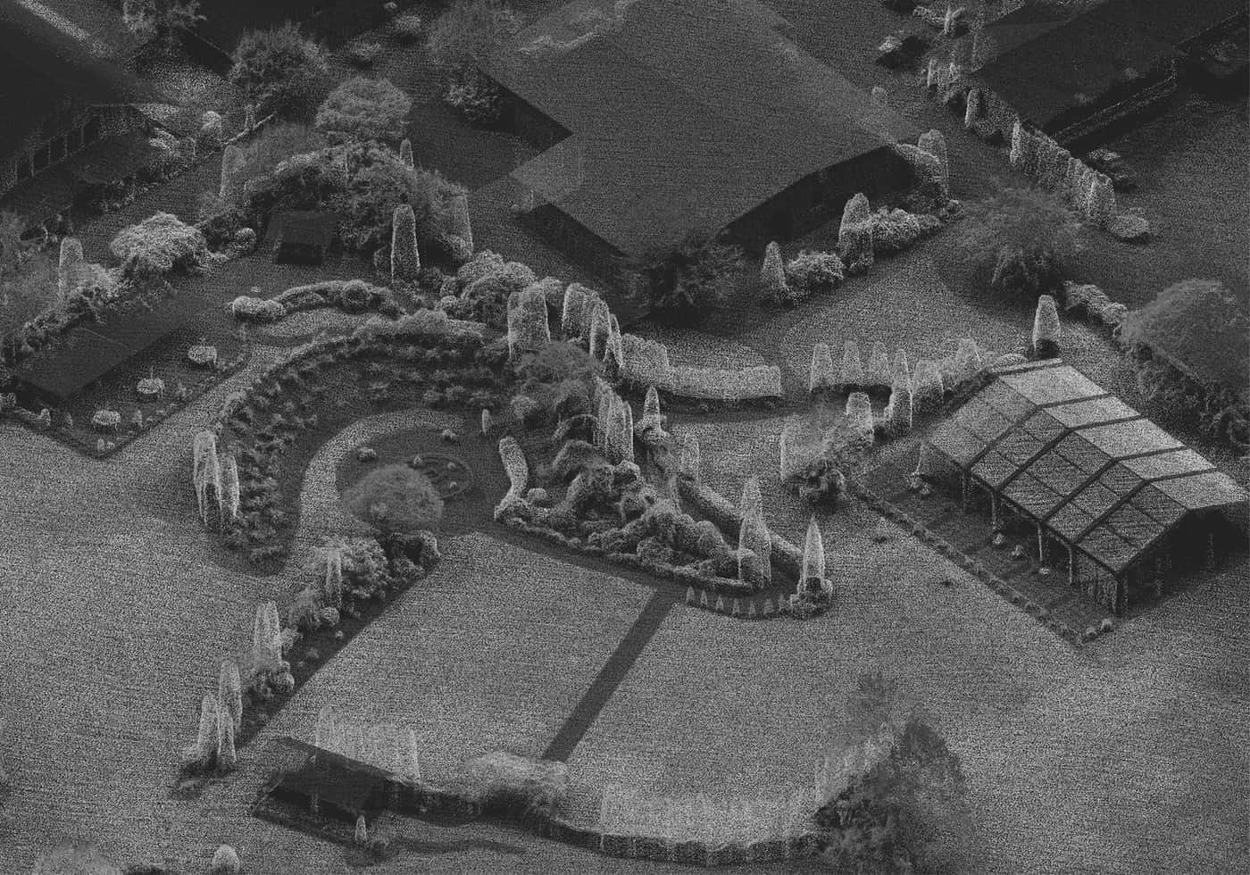
View 1 · Buildings & tents
Height colorization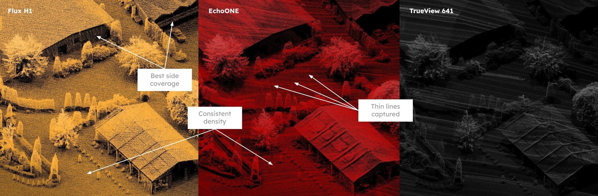
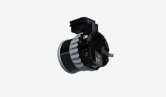
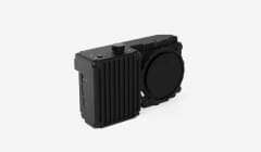
| Flux H1Freefly | EchoONETeledyne | TrueView 641GeoCue | |
|---|---|---|---|
| Vertical face coverage | Yes | No | No |
| Thin wire detection | No | Yes | No |
| Consistent density | Yes | Yes | No |
Freefly Fest 2026
Overview
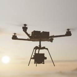
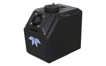
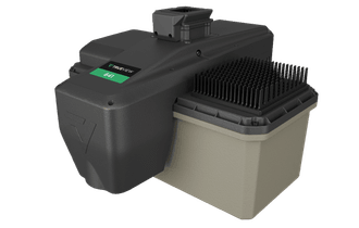
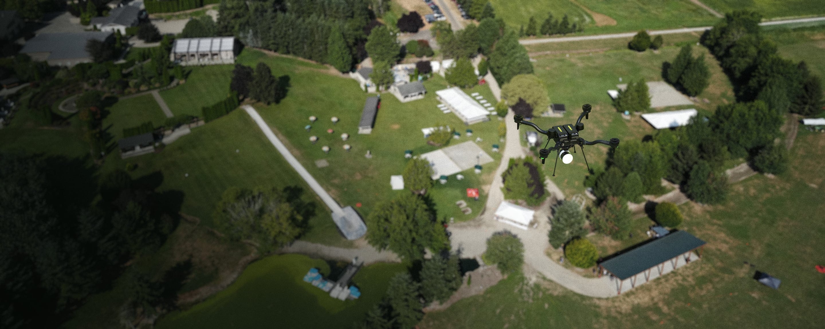
Three of the lidars that were present at Freefly Fest 2026 were flown over the grounds with Astro, each creating their own dataset for comparison!
Test method
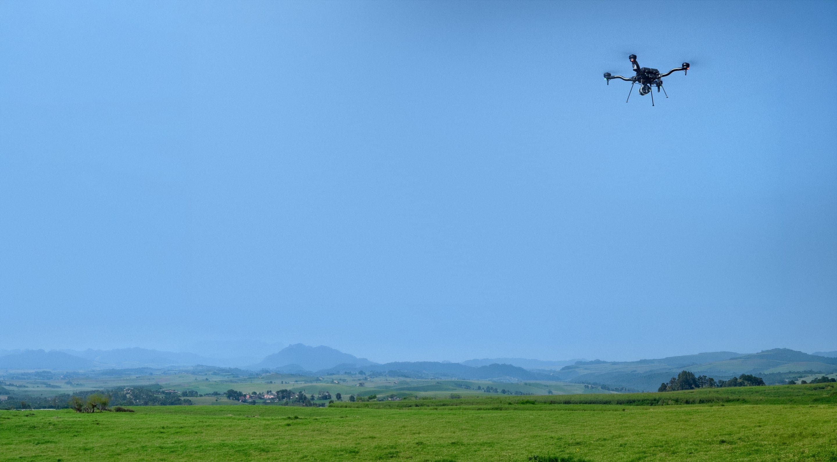
All lidars were flown on the same trajectory at 60 m AGL, terrain following on, at 5 m/s. Astro was flown with NTRIP RTK enabled.
The EchoONE and TrueView 641 required additional calibration flight lines that were added to the start and end of the flight. The EchoONE, TrueView 641, and Flux units were configured by the manufacturer onsite before flying.
All data was processed by the manufacturers.
7 check points were laid out and are the same in each flight. They are available in the same folder as the datasets.
Specifications
| Flux H1Freefly | EchoONETeledyne | TrueView 641GeoCue | |
|---|---|---|---|
| Price (USD) | $32,995 | $55,500 | $60,000 |
| Weight (g) | 663 | 1,650 | 2,100 |
| Returns captured | 3 | 8 | 6 |
| SLAM | Yes | No | No |
| NDAA compliance | No | No | Yes |
| Colorization | Yes | Yes | Yes |
| Requires software subscription | No | Yes | Yes |
| Requires calibration flight maneuvers | No | Yes | Yes |
| Requires external OBS file | No | Yes | Yes |
Results
Full dataset, same flight
Max − min error in metres, with average vertical offset (DZ) zeroed. Lower is better.
Point cloud views
Four areas of the grounds, rendered identically from each dataset. Click any image to enlarge.
| Flux H1Freefly | EchoONETeledyne | TrueView 641GeoCue | |
|---|---|---|---|
| Vertical face coverage | Yes | No | No |
| Thin wire detection | No | Yes | No |
| Consistent density | Yes | Yes | No |
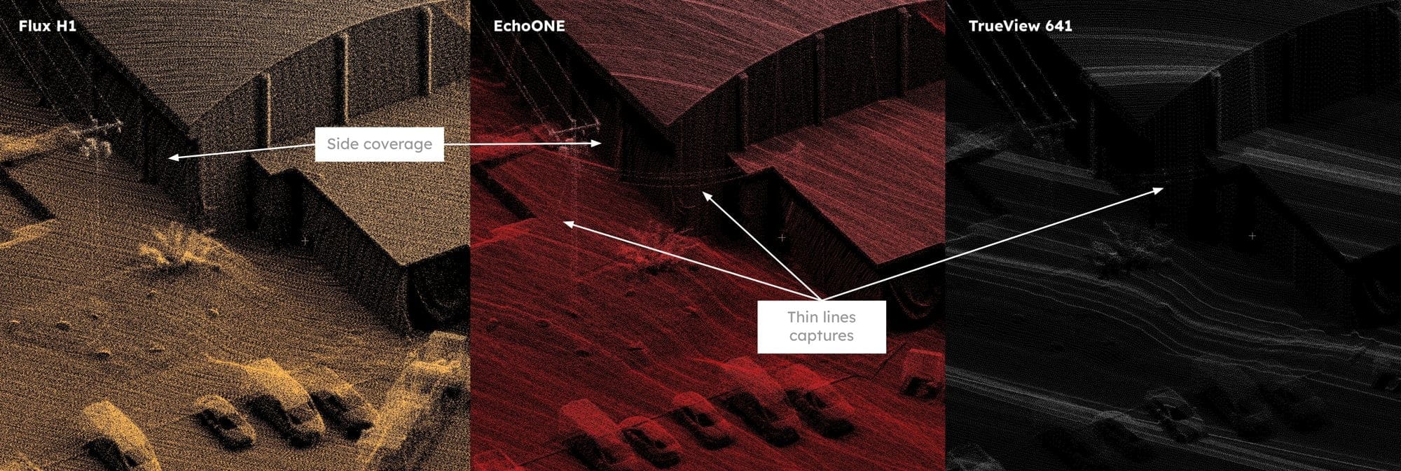
| Flux H1Freefly | EchoONETeledyne | TrueView 641GeoCue | |
|---|---|---|---|
| Thin wire detection | No | Yes | Yes |
| Side pillars | Yes | Yes | Marginal |
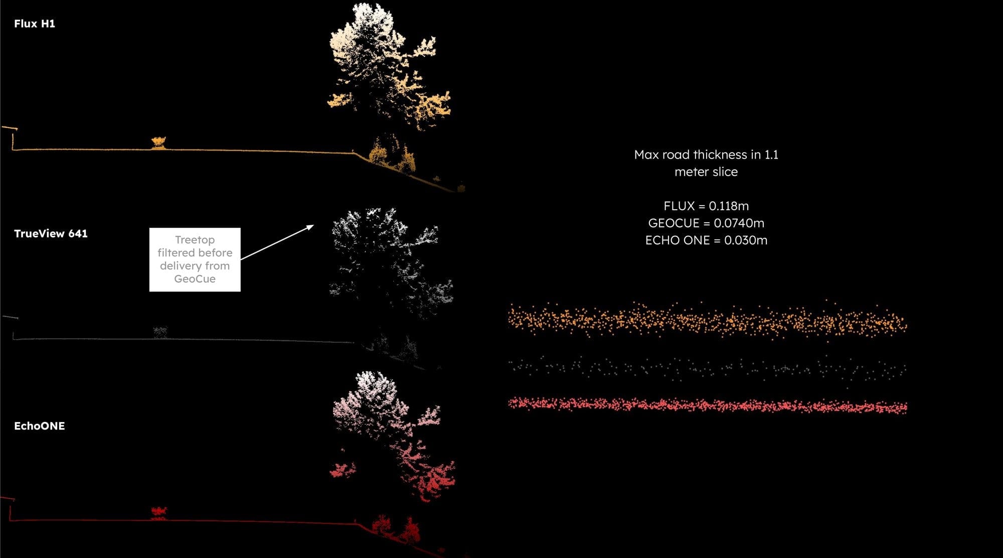
Thickness of a flat road surface in metres. Thinner indicates a tighter surface.
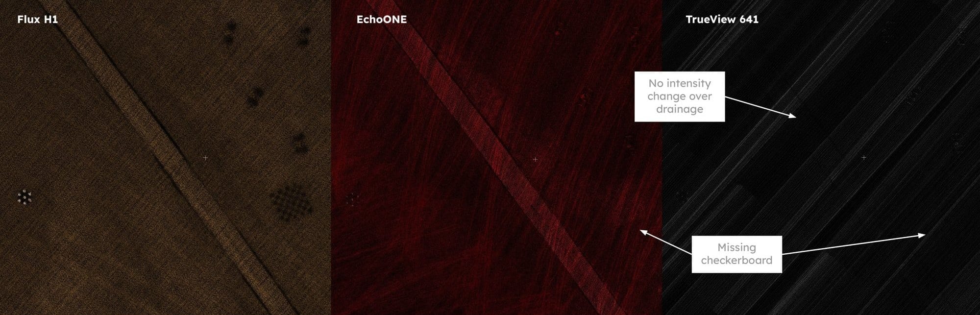
| Flux H1Freefly | EchoONETeledyne | TrueView 641GeoCue | |
|---|---|---|---|
| Drainage visible | Yes | Yes | No |
| Checkerboard visible | Yes | No | No |
Get started

$32,995
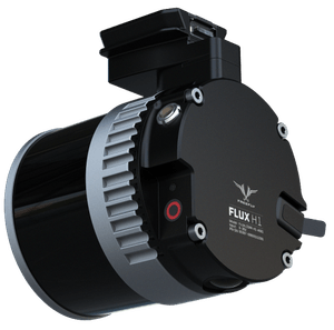
Triple returns and 300 m range, for open terrain and sites under tree cover. 715 g.

$32,995
NDAA compliant, with 128 channels for dense detail on structures. Built for government and critical-infrastructure work.
Talk through your sites with our sales team on a video call, and see how Flux fits your business.
Freefly Fest 2026 · Lidar Performance Comparison
Datasets & check points